


Loren Thompson
A casual observer of Washington politics over the last several years might easily have concluded that Democrats and Republicans don’t agree on anything.
But in fact, they agree on a lot, starting with a recognition of the growing threat that China poses to U.S. military and economic security. Politicians and policymakers in both parties have acknowledged that Washington will need to rethink national strategy to meet the challenge.
Incoming national security advisor Jake Sullivan and co-author Jennifer Harris captured this emerging bipartisan consensus in a February essay for Foreign Policy that warned “a new grand strategy for today’s world will only be as good as the economic philosophy behind it.”
They then proceeded to advocate a national industrial policy, calling the idea deeply American and tracing its origins back to Alexander Hamilton.
Geospatial intelligence has myriad military uses, but the commercial applications from mapping to ... [+] WIKIPEDIA
The question today isn’t whether the nation needs such a policy—it has been steadily losing ground to China for two decades—but what the content of that policy should be.
Since the threat from China is both economic and military, an obvious place to begin is with dual-use technologies—meaning technologies with broad application in both the military sphere and the civilian economy.
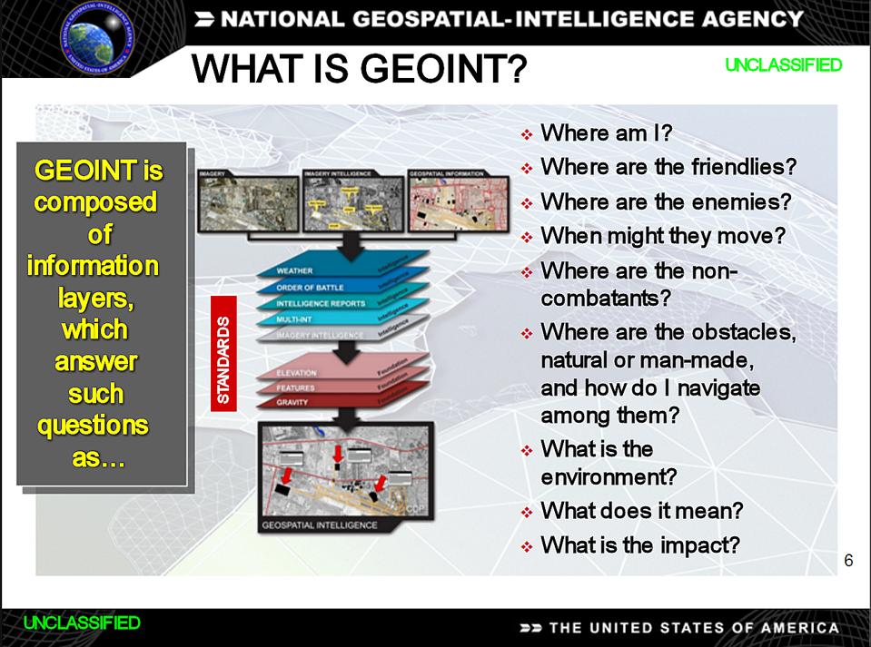
A case in point is geospatial intelligence. People in the national security community call it ‘geoint,’ but it is more commonly known in the civilian world as remote sensing.
Geoint is imagery and information that relates human activity to geography. It typically is collected from satellites and aircraft, and can illuminate patterns not easily detectable by other means.
To take a simple example drawn from the field’s infancy, in 1854 London physician John Snow demonstrated that the geographical distribution of cholera cases in England’s biggest city was closely connected to where contaminated water sources were present.
Today the United States has sophisticated orbital and airborne sensors for tracking human behavior on the Earth’s surface in relation to surrounding geography, and powerful analytic software for interpreting such collections. So do other countries.
But as in so many other industries involving dual-use technologies, the U.S. is rapidly losing leadership in a field that it traditionally has dominated.
One reason the U.S. is lagging is that federal policy has discouraged expansion of a commercial remote-sensing industry in the U.S., at a time when private interests in several other countries are orbiting increasingly sensitive Earth-observing satellites.
For instance, foreign interests have orbited 15 synthetic-aperture radar satellites capable of seeing through clouds to collect detailed geospatial intelligence for commercial purposes. Only one such satellite is operated by U.S. industry.
As explained in an October report by the federally-funded MITRE research organization, the U.S. industry is gradually being eclipsed by foreign rivals—including rivals in China. China is working with the United Nations to build a major geoint facility near Hangzhou in Zhejiang province, ostensibly to support global development.
It is generally assumed that U.S. spy agencies operate Earth-observing satellites with very high resolution and frequent revisit rates for areas of interest. However, the intelligence community has been slow to embrace commercial sources of geospatial intelligence.
MITRE figures that European and Asian nations in 2019 collectively invested 3-4 times as much in commercial geoint ventures as the U.S. did, and that overseas interests will surpass the U.S. supply chain for such technology within a decade.
To quote the MITRE study, which was written by four engineers who work on geoint systems, “the United States has fallen behind, and foreign investment, largely funded by foreign governments, has begun to dominate the industry.”
There isn’t much mystery which nation will ultimately emerge as the most potent rival to U.S. remote-sensing providers. It will be China, which has identified dominance of global space activities as a national goal by mid-century.
Beijing doesn’t make much of a distinction between military and commercial systems used for collecting geoint. It views all such systems as part of an integrated national industrial plan, and requires that commercial systems be available to the government as needed.
The tradition in the U.S. has been to keep national security space systems separate from commercial space systems, even if they are developed for similar purposes using similar technology. Washington has a policy supposedly favoring use of commercial geoint sources, but in practice it hasn’t done much to help the domestic industry.
In fact, the National Reconnaissance Office may turn to foreign sources as it belatedly seeks to make greater use of commercially available geoint imagery and services. If that were to occur, it would further discourage investment in the domestic industry.
MITRE warns that if present trends persist, foreign interests will come to dominate the supply chain for geoint systems and set global standards. It speculates that because those interests are often government-funded, they may even resort to predatory pricing to drive U.S. commercial interests from the market.
That would be a serious setback for the U.S. aerospace sector, for the myriad other industries that depend on geospatial intelligence, and for the national security community.
Geoint is a perfect example of how the fragmented nature of U.S. economic and security policies is detrimental to larger national purposes. The Department of Defense is the world’s biggest purchaser of advanced technology; its business decisions and contract awards should take national economic goals into account.
If Washington doesn’t change its approach, geoint is yet another dual-use technology where foreign interests will take the lead—no doubt with China setting the pace.
Several contributors to my think tank may have an interest in geoint.
No comments:
Post a Comment