Stephen Chen
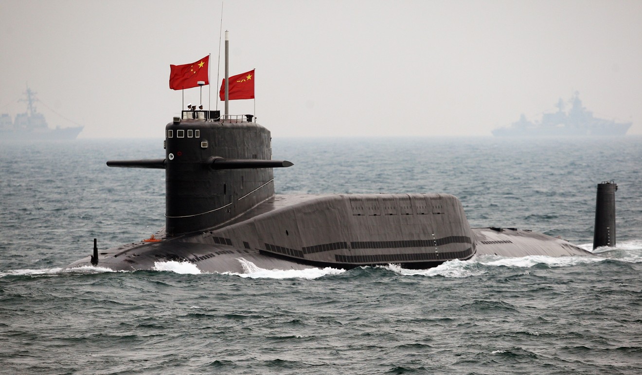
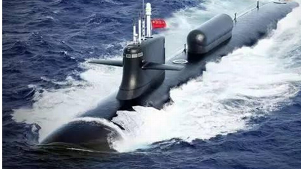 A new underwater surveillance network is expected to help China’s submarines get a stronger lock on targets while protecting the nation’s interests along the maritime Silk Road, from the Korean peninsula to the east coast of Africa. The system, which has already been launched, works by gathering information about the underwater environment, particularly water temperature and salinity, which the navy can then use to more accurately track target vessels as well as improve navigation and positioning.
The project, led by the South China Sea Institute of Oceanology under the Chinese Academy of Sciences (CAS), is part of an unprecedented military expansion fuelled by Beijing’s desire to challenge the United States in the world’s oceans.
But China still has some way to go before it can compete with the world’s only true superpower.
Yu Yongqiang, a researcher with the Institute of Atmospheric Physics – also under CAS – and a member of the expert panel overseeing China’s global underwater surveillance network, said that while it undoubtedly represented progress in China’s submarine warfare capabilities, it was dwarfed by the systems operated by the US around the world.
“We have made just a small step in a long march,” he said.
Even in the South China Sea, Beijing’s home patch, US submarine commanders probably had a better take on temperature and salinity conditions than their Chinese counterparts because of their decades of research in the area, Yu said.
According to technical briefings posted on oceanology institute’s website, the Chinese system is based on a network of platforms – buoys, surface vessels, satellites and underwater gliders – that gather data from the South China Sea, and the Western Pacific and Indian oceans.
That information is then streamed to three intelligence centres – in the Paracel Islands in the South China Sea, the southern province of Guangdong, and a joint facility in South Asia – where it is processed and analysed.
For submarines patrolling the sea route, or “road”, element of China’s global trade and infrastructure development plan known as the “Belt and Road Initiative”, the system’s ability to not only measure, but also predict temperature and salinity at any location, any depth and at any time will be invaluable.
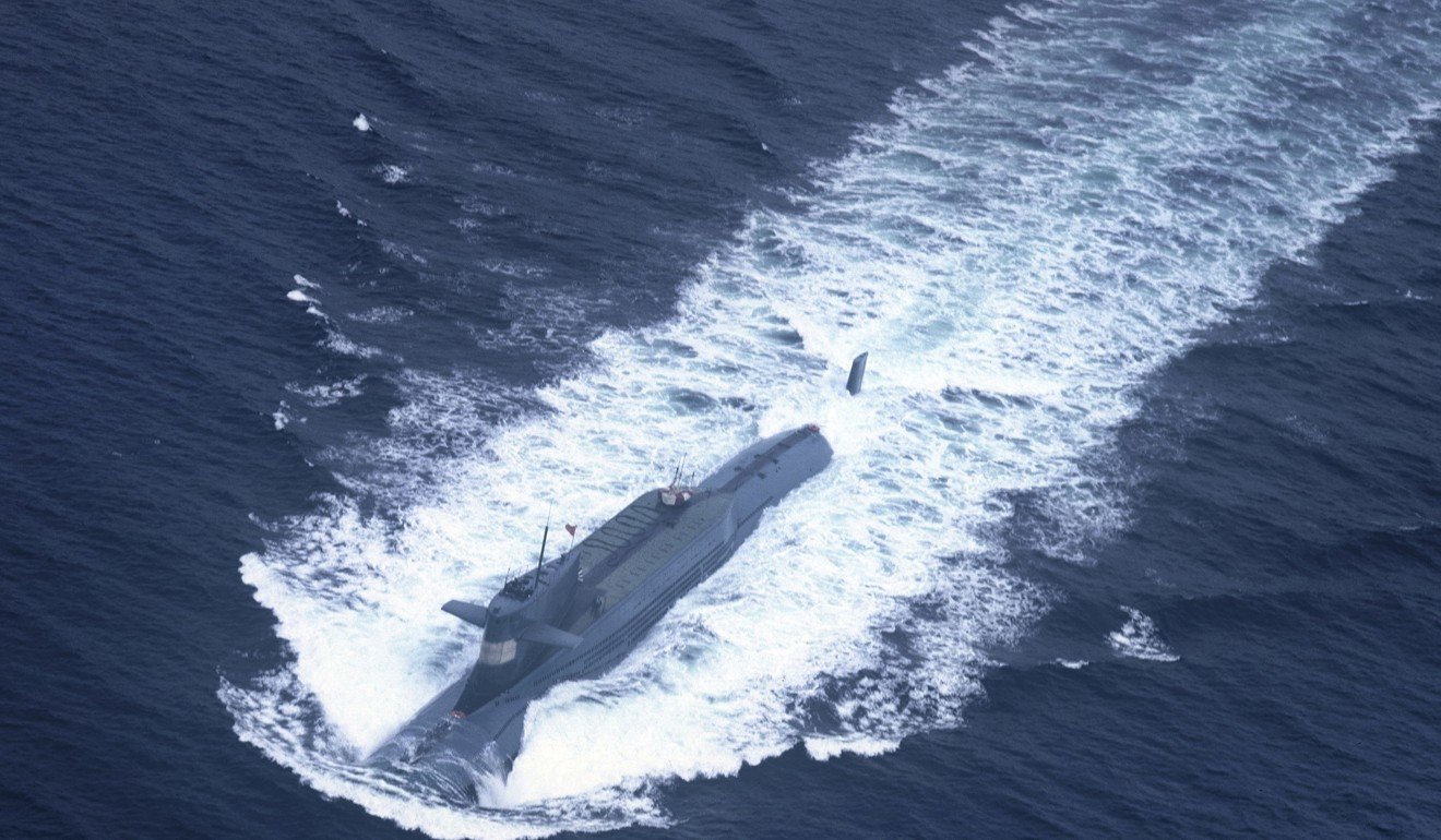
Submarines use sonar (sound navigation and ranging) to locate, identify and attack other vessels.
However, the speed and direction sound waves take is greatly affected by the temperature and salinity of the water through which they are travelling. If a commander failed to take these factors into consideration when calculating the position of an enemy vessel, he could be a long way off target, Yu said.
“You definitely don’t want to fire a torpedo at point A when the enemy is coming to you from point B,” he said.
Yu said that as well as improving their targeting ability, the new surveillance system should enable submarines to steer a much safer course through difficult waters.
Salinity and temperature greatly affect water density, and abrupt changes in either can cause submarines to effectively lose control. By pre-empting such changes, the system will help commanders to avoid sailing into trouble.
After years of construction and testing, the new surveillance system was now in the hands of the navy, which reported “good results”, the oceanology institute said in its latest briefing in November.
China’s belt and road plan is designed to boost economic growth in more than 60 countries. Since its launch, huge sums of money, most of it from China, have been spent on dozens of infrastructure projects, from ports to power stations, motorways to mines.
But as the plan has grown, so too has Beijing’s problem of how to protect its investments and interests, especially as until recently China’s military had almost no experience of operating outside its own borders.
For the naval forces charged with guarding the maritime Silk Road, there are many adversaries lurking in often hostile waters, according to a researcher involved in the development of the new surveillance system.
Since the cold war, the US had closely guarded the Western Pacific via “island chains”, the researcher said.
Similarly, the South China Sea was circled by many small, “unfriendly” countries involved in territorial disputes with China; while India was wary of Beijing’s growing influence in the region and was consequently trying to tighten its grip on the Indian Ocean.
“Our system can help tip the balance of power in these regions in China’s favour,” the researcher said.
As well as the surveillance network, Chinese researchers have also developed a powerful on-board forecasting system for use by submarines.
This uses algorithms to predict water conditions even if the vessel’s sensors can gather only tiny amounts of data. This might be the case if the submarine is required to remain “hidden” for weeks or even months at a time, and cannot surface to collect data from satellites or ground-based stations.
According to a study by the Centre for a New American Security and the International Institute for Strategic Studies, by 2030 China will have 260 warships and submarines compared to the US’ 199.
As the battle for the oceans hots up, tools such as the underwater surveillance network could be the difference between winning and losing.
No comments:
Post a Comment