


KYLE MIZOKAMI
The Air Force is researching the use of Earth’s magnetic field to provide positioning for aircraft and other U.S. forces.
In wartime, U.S. GPS satellites could be disabled or jammed, leaving troops scrambling for an alternative means to determine their positions—and those of adversaries.
Earth’s magnetic field could provide an alternative that is difficult to jam or spoof.
The U.S. Air Force is preparing to test a new pod-based positioning system that should be able to replace satellite-based GPS in an emergency. The system would look down—not up—for positioning data using Earth’s own magnetic field. If successful, the tech could provide an effective backup in the event space satellites aren’t available.
Satellite-based position, navigation, and timing (PNT) is one of the most revolutionary technological innovations of the last half century. PNT satellites like the American GPS, European Galileo, Russian GLONASS, and Chinese Beido allow anyone with a PNT receiver to know their location with a high level of precision around the world. In the civilian sector, that means turn-based navigation in cars and smartphones and basically never being lost again.
The stakes are much higher in the military world, where PNT satellites allow tank units to identify their position on the battlefield, warplanes to steer their way around known enemy air defenses, and missiles to strike targets with unprecedented precision accuracy.
More than 30 American GPS satellites provide PNT services around the world, and U.S. forces have become heavily dependent on them in peacetime. The satellites would also be major targets in wartime, however, as adversaries would attempt to destroy the sats or jam or spoof their signals. Jamming involves preventing users from receiving GPS signals, while spoofing sends false positioning data to receivers.
Now, New Scientist reports, the U.S. Air Force is preparing to test a system that will let aircraft determine their position using Earth’s magnetic field as a reference. The system, installed in an AgilePod pod-based modular sensor package, uses a magnetometer to read Earth’s local magnetic field and determine the aircraft’s location.
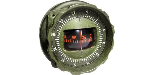
Earth’s geomagnetic field is an invisible field generated by the planet’s core and crust. The field is well known and mappable by detecting local variations in direction and intensity, often caused by things like iron deposits and even human-made objects. Unlike satellites, the geomagnetic field can’t be shot down and is ever-present.
The Air Force first tested magnetic navigation in 2017, when an aircraft equipped with a magnetometer was able to continuously determine its location within 13 meters over an hour-long flight.
With an accuracy of 13 meters, magnetic navigation isn’t quite up to par with satellite navigation, though the system might become more accurate in the future. The system also relies on mapping the magnetic field before fielding, and while that would be easy enough in the U.S., Europe, and parts of Asia, accurate maps of Russia and China might not be so forthcoming.
No comments:
Post a Comment