


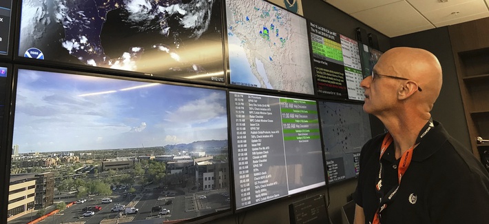
BY PATRICK TUCKER
 Hiding illicit nuclear programs might be getting harder, thanks to new ways of gleaning and combining clues from various rivers of digital data. That’s the conclusion of new research funded in part by the U.S. Energy Department’s National Nuclear Security Administration. Satellites offer one kind of information; social media another — particularly inside countries that may be trying to flout inspections. But large volumes of satellite imagery and social media data aren’t similar. You can have one analyst examine satellite pictures and another look at social media posts to see if they align, but the process is time-consuming and generally far from comprehensive. The study’s authors developed a method for fusing different types of data in a machine-readable way to offer a much clearer picture.
“In light of their ubiquitous emergence, social media increasingly promise to be of great value even though associated applications have thus far remained simple, and their fusion with other data has been largely ad hoc,” the team from North Carolina State University writes in “Fusing Heterogeneous Data: A Case for Remote Sensing and Social Media.” Only by creating a new statistical method for fusing the outputs of satellite data and social media data do you get something you can use to predict what might happen next within a given area of interest, such as a specific nation’s nuclear enrichment or weapons development.
The researchers looked at satellite and social media data from August 2013, when deadly floods killed eight people and caused widespread damage in Colorado. They sought to show that if you could algorithmically identify which imagery showed the flooding from space, and which geotagged tweets described it on the ground, you could could much more quickly verify one data set against another — that is, you could determine whether incoming social media data supports the conclusions you might be reaching from your satellite data, and vice versa.
“Next steps for the project include evaluating nuclear facilities in the West to identify common characteristics that may also be applicable to facilities in more isolated societies, such as North Korea,” notes a press release on the paper.
One of the authors, NCSU computer and electrical engineering professor Hamid Krim, said the team would try to “address the insufficient knowledge in general in areas of great interest (e.g. N. Korea and Iran). The goal is to come up with systematic methodologies to transport knowledge about nuclear environments available in other areas (e.g., in the West) to these domains where there is very little available. Creating such an environment in these places of interest will help them detect potential undesired activity.”
Of course, there are limitations to media monitoring in Iran and North Korea. The former’s social media environment is largely underground, thanks to bans on Twitter and many other social networks. The latter has virtually no social media environment at all. Krim noted that the “adversarial strategy” of social-media censorship makes his team’s analysis harder. But even social posts from nearby countries can help illuminate their more secretive neighbors, he said — think tweets from Japan after earth tremors are felt.
No comments:
Post a Comment